
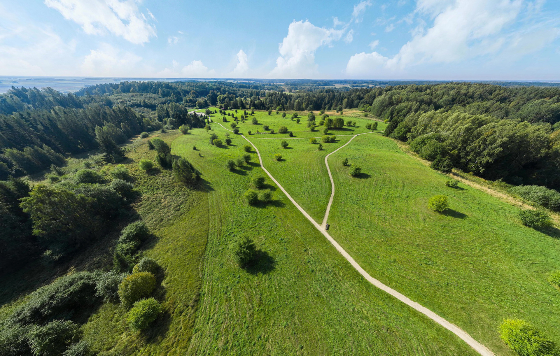
Two cycling routes have been created in the Google Maps app at the initiative of Tytuvėnai Regional Park. The longer route (17 km) is marked in yellow, while the shorter one (15 km) is marked in purple. The terrain along both routes is gently undulating, with minimal elevation changes. Two-thirds of the yellow route consists of dirt roads, with the remaining third being gravel; the purple route is composed of an equal mix of asphalt, gravel, and dirt roads.
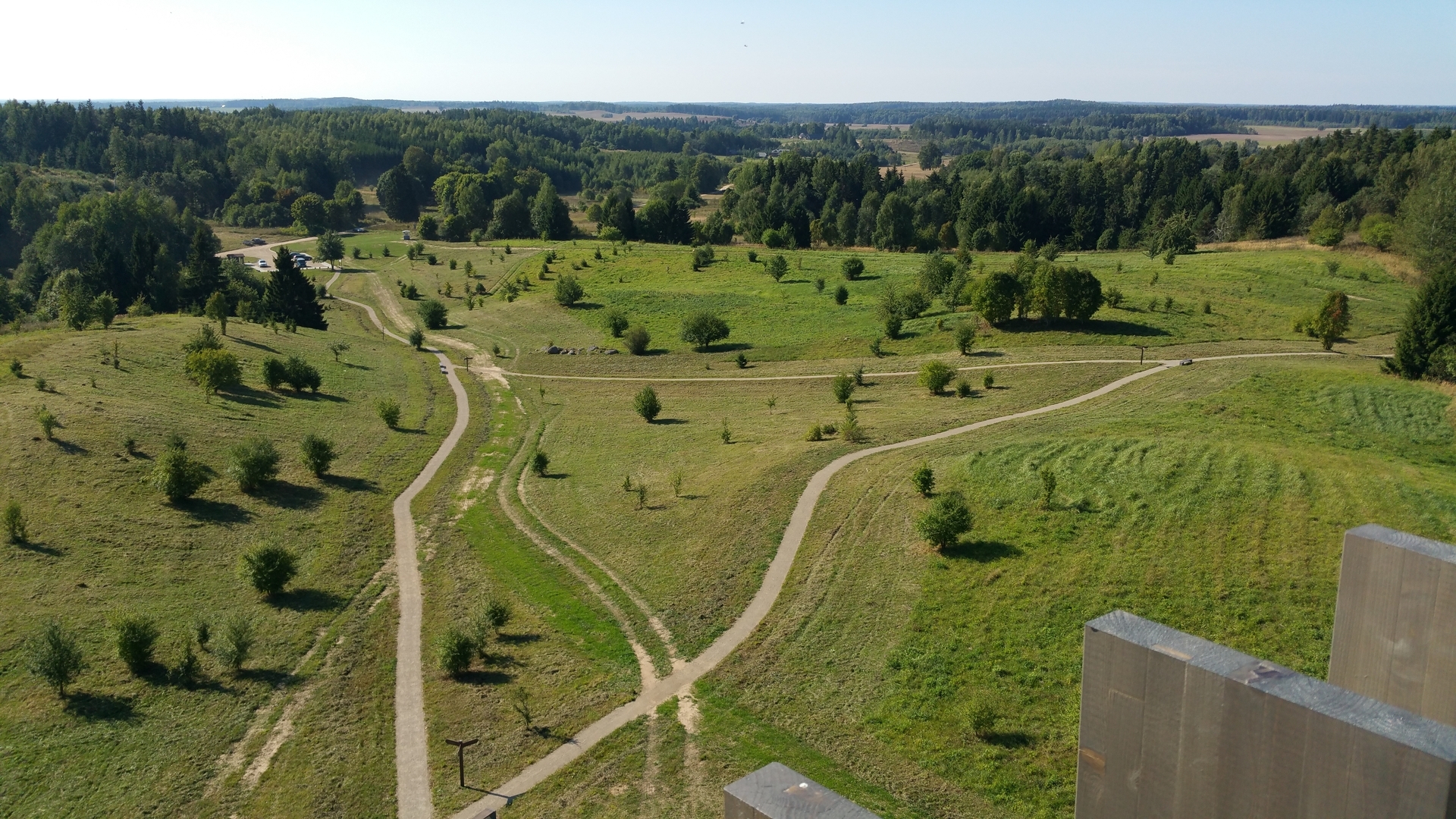
The path winds through open, scenic landscapes. Along the way, you can visit the Diktariškiai and Šiaulėnai manors, the Šiaulė observation tower, the Kudinai hillfort, and many other points of interest.
Reviews